Seeing is believing
NASA released a remarkable visual model of carbon dioxide moving through the atmosphere:
“As policymakers and as scientists, we’re trying to account for where carbon comes from and how that impacts the planet,” said climate scientist Lesley Ott at NASA’s Goddard Space Flight Center in Greenbelt, Maryland. “You see here how everything is interconnected by these different weather patterns.”
NASA says the map was created by their Scientific Visualization Studio using a model called GEOS, short for the Goddard Earth Observing System.
“GEOS is a high-resolution weather model, powered by supercomputers, that is used to simulate what was happening in the atmosphere — including storm systems, cloud formations, and other natural events. GEOS pulls in billions of data points from ground observations and satellite instruments, such as the Terra satellite’s MODIS and the Suomi-NPP satellite’s VIIRS instruments. Its resolution is more than 100 times greater than a typical weather model. Ott and other climate scientists wanted to know what GEOS would show if it was used to model the movement and density of carbon dioxide in the global atmosphere.”
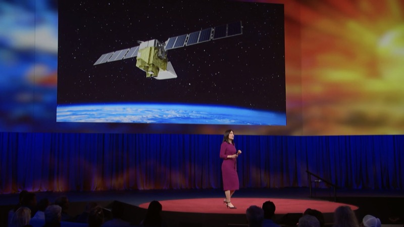
Methane, too, can be “seen” from space. EDF and Google partnered to put into orbit MethaneSAT, which can detect not only the concentration of methane in the atmosphere but also its “flux” — the volumes of methane leaking and their change over time, according to Canary Media.
EDF says, “The single most important way to slow climate change right now is to cut emissions of methane, a highly potent, short-term greenhouse gas. To do that, we need to see the total picture — from space. This methane-detecting satellite, which launched in March 2024, was designed to provide government regulators, companies and nonprofit groups the information and incentive they need to fulfill their commitments to cut methane emissions.”
Watch Millie Chu Baird, who leads innovative projects at EDF, as she explains in this TED Talk the vision for MethaneSAT:
When passing over Washington state, MethaneSAT is likely to spot methane escaping from municipal solid waste landfills, which is why the state offers Climate Commitment Act funding to help prevent about 1.6 million metric tons of carbon dioxide equivalent from escaping into the atmosphere every year. That’s like taking nearly 350,000 cars off the road, according to the Washington Department of Ecology.
Methane can not only be spotted from space, but also captured at the source – and converted into compressed gas to power garbage trucks:
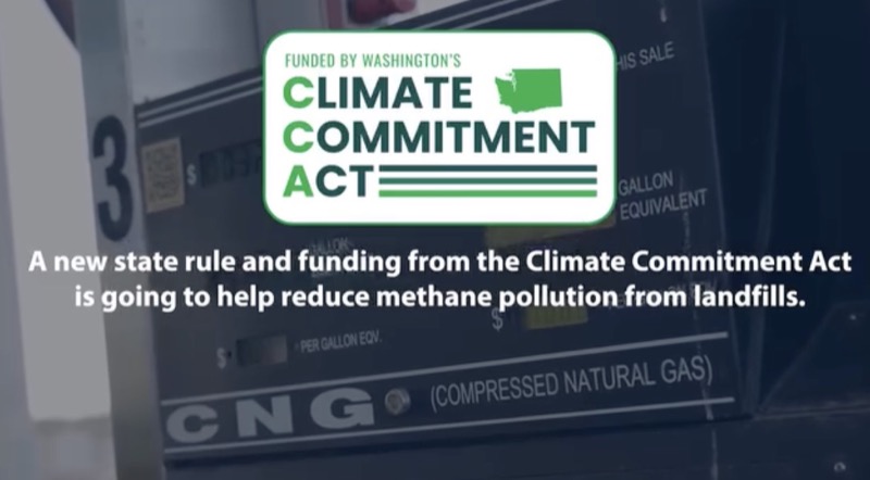
Washington state recently adopted a new rule that requires landfills to capture harmful methane. Funds from the state’s Climate Commitment Act will help landfill operators purchase necessary infrastructure.
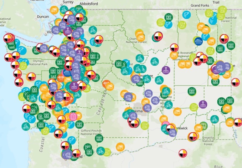
In all 39 counties in Washington state, greenhouse gas emissions are being converted – through carbon allowance auctions – to funds invested in clean energy projects. Those thousands of projects (including the methane capture and conversion) are made visible on this Risk of Repeal Map from the Clean & Prosperous Institute:

2024 BREW International Blog Awards
Community’s Pick of the Year
Paid for by Clean & Prosperous Washington
PO Box 21961, Seattle, WA 98111
info@cleanprosperouswa.com